Ever wish you could go back in time?
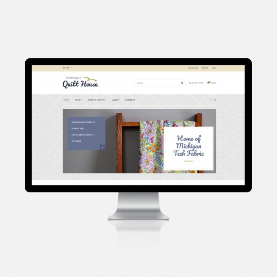
The Keweenaw Time Traveler (KeTT) is an online interactive map that combines the latest technology and intuitive user interface design to allow you to delve deep into a wealth of historical data on Michigan's Copper Country. Explore the map organically or use the map filters to take a deep dive.

usability
Lauren has plenty of experience in usability—making an app or website easy to use—but KeTT took the typical usability challenge and magnified it exponentially. The challenge? Design an online interactive atlas that displays multiple types of information over a period of 100+ years, that can be filtered and explored by a live map, a list of search results, a timeline, and a number of filters. Easy as a polar plunge in the dead of winter.

User Interface (UI)
UI is a buzz word that gets tossed around like a beach ball on the waves of Lake Superior. It means designing a website or app to be both beautiful and effective. Everything from the iconography to the color palette to the placement of every. single. detail. was discussed, iterated (and re-iterated), and quite frankly—argued over—by the Monte team until it was molded into the deceptively simple design you see today.

User Experience: UX
It was essential that KeTT users feel emotionally connected to the Keweenaw and its history and people. The entire premise is to bring the past to life not only through census data and Sanborn maps, but through each person's memories, personal records, and photos. The "Share a story" button invites users to add their knowledge to the archive, and ensure it not only exists but grows as a piece of living history.

Tried & Tested
The KeTT web app was put to the test time after time during multiple design charrettes: think 2 hour-long screenshare meetings with an interdisciplinary team of 10+ very engaged people. Followed by revisions and internal Monte team discussions. Rinse and repeat... for a few months... then host live user tests with group and breakout discussions to make sure people of every age, background, and level of technology experience were able to give feedback and ask questions. This iterative—and at times brutal—process was one for the ages. The result? An interactive archive that you can get lost in for hours, and have zero regrets.

done? Think again.
Long, time intensive are a marathon for the mind. It is a battle of the will to stay engaged, focused, and determined to create the best possible experience for the user. The Monte and KeTT teams really channeled the remarkable Sisu and grit of the Keweenaw residents from the past. This network diagram is one small example of the many meetings and efforts of each person involved to create a truly special experience for the end users of the KeTT interactive web app.

How it works
We haven't talked much (ok, at all) about the technology behind this massive, complex engine of 1,000 moving parts. That's because we have no idea how it works—only one person really does (Chris)—and it's so far over the rest of our heads that we just drive the car rather than worry about what makes it fly down the freeway. Chris collaborated with GIS (geographic information system) specialists at Michigan Tech to tie the site functionality into ESRI's map database and the the Copper Country Historical Data Infrastructure database developed through the Michigan Tech Social Sciences Department. Using the map created through ESRI with the data pulled together through georeferencing processes to layer maps upon one another over time, our team was able to use calls to display the information in an interactive website. With over 1,100 maps spanning across the Copper Country and millions of datapoints, the task no easy lift, but we think we knocked it out of the park in terms of speed, usability, and user experience.